
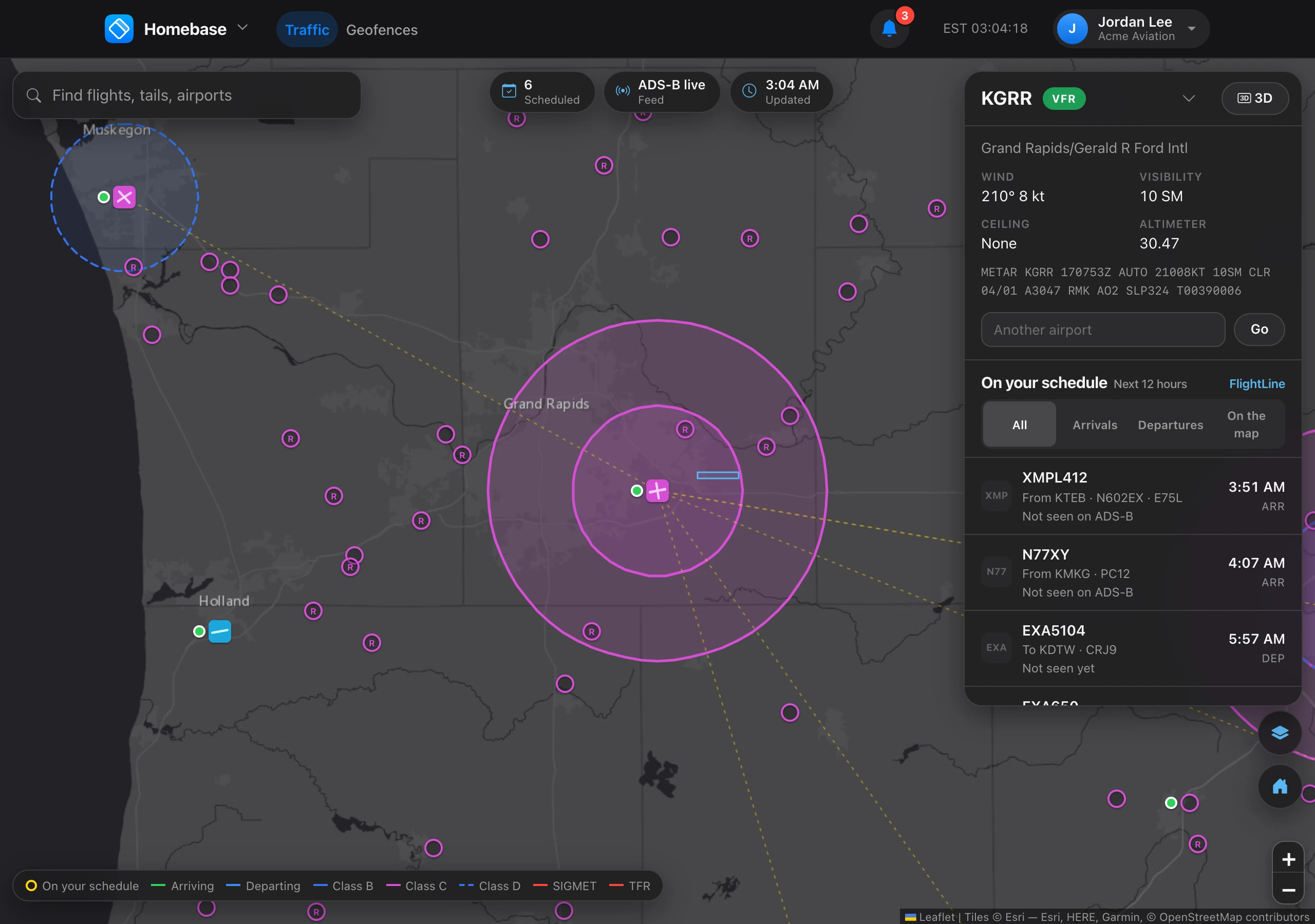
Choose 3D in Homebase to see the airport in perspective: aprons, taxiways, runways, buildings, gates, and every aircraft nearby as a 3D model of its type, on the ground or in the air. Unlike the map, the 3D view shows all traffic at the airport.
Heights are corrected with the METAR altimeter setting. An aircraft that stops reporting is shown where it should be for up to 5 minutes, labeled as predicted. Geofences are drawn as walls between their altitudes.
Enhanced ground traffic adds more accurate positions on the ground and on final, for $0.10 a query with a daily limit. It is off until someone turns it on. See Where flight data comes from. 3D is off in testing mode.