
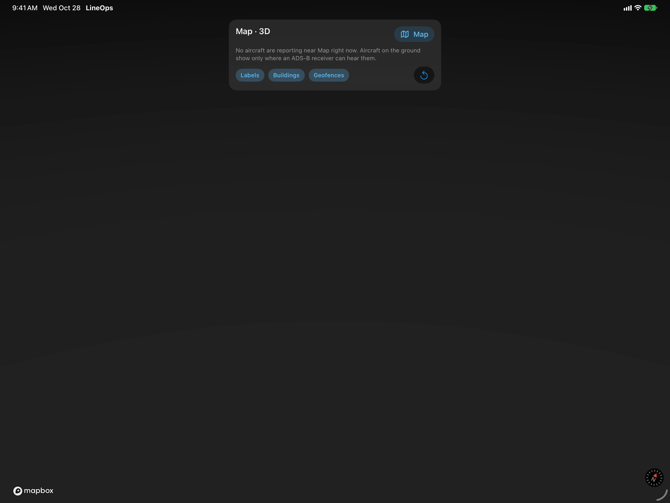
3D. Tap 3D in Homebase for your home airport, or View in 3D on any airport. It shows the runways, taxiways, buildings, and every aircraft within 5 NM as a model of its type. Scheduled flights are ringed yellow, aircraft in a geofence blue, and the one you picked white. Tap one for its details. The panel switches labels, buildings, and geofences. An aircraft that stops reporting is shown where it should be for up to 5 minutes, labeled as predicted.
AR. Tap AR and point your iPhone or iPad at the sky. Each aircraft in range is labeled where it is, and an arrow points to ones out of view. Choose the Range and whether to show aircraft on the Ground, and tap a label for details. AR needs a camera and motion sensors, and it asks for your camera and location.
3D and AR show all traffic, not only your schedule, and are off in testing mode.